Tornado Watch Covers Southeast Texas as Storm Line Nears Houston, Raising Wind, Hail, Flooding Risks
What the tornado watch means for the Houston region
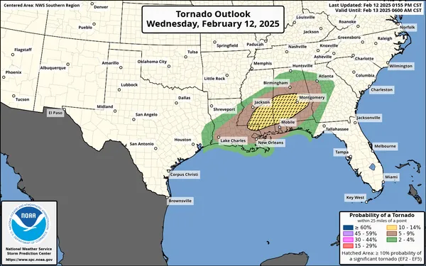
A tornado watch has been issued for Southeast Texas as a line of thunderstorms advances toward the Houston metropolitan area. A watch signals that atmospheric conditions are favorable for tornadoes to develop, typically within stronger thunderstorms, and it often coincides with risks for damaging straight-line winds, large hail and intense rainfall.
For residents across the Houston area, the practical implication is heightened readiness: severe weather may occur with limited lead time, and hazards can evolve quickly as storms move through densely populated corridors and along major roadways.
Storm setup: why forecasters flagged tornado potential
Severe-weather watches in the region are frequently tied to fast-moving storm lines where embedded circulations can briefly spin up, sometimes producing short-lived tornadoes. These systems can also generate powerful wind gusts capable of downing trees and power lines, along with periods of rapid rainfall that overwhelm drainage in low-lying neighborhoods and along bayous.
In Southeast Texas, tornado risk is often not isolated to classic, long-track tornado scenarios. Instead, the more common concern during squall lines is localized, quickly developing rotation within the broader storm complex, alongside widespread wind impacts.
Primary risks: wind damage, hail, and localized flooding
Damaging winds: Thunderstorm winds can cause tree damage, structural impacts to roofs and fences, and power outages—especially where soils are saturated.
Hail: Hail can damage vehicles, roofs and windows, and may fall with little warning beneath the most intense storm cores.
Flash flooding: Heavy downpours can trigger quick street flooding and hazardous driving conditions, particularly in areas with poor drainage and during peak traffic hours.
Isolated tornadoes: Tornadoes remain a lower-frequency outcome than wind damage during many Houston-area squall lines, but the watch indicates that tornado development is possible.
Timing and travel: why short lead times matter
When a storm line is moving steadily east, impacts can arrive in a narrow window, leaving little time to relocate or re-plan commutes. Thunderstorm hazards also tend to intensify quickly, including sudden wind shifts, rapidly reduced visibility and frequent lightning. Drivers are often most at risk during the first surge of heavy rain, when roads become slick and ponding forms at underpasses.
If a warning is issued, the safest response is to move indoors immediately, away from windows, and shelter in an interior room on the lowest floor.
Preparedness steps for Houston-area residents
Households are advised to review where to take shelter, ensure multiple ways to receive warnings, charge essential devices, and secure outdoor items that can become windborne debris. People in manufactured homes and those attending large events should identify nearby sturdy buildings in advance, since relocating after warnings are issued may be unsafe.
The tornado watch will remain in effect until it is allowed to expire or is canceled. Conditions can change rapidly, and additional watches or warnings may be issued as storms progress across the region.