Sky-High Fire Risks and Afternoon Warmth: Houston’s Tuesday Weather Breakdown
Morning: A Chilly Start with Clear Skies
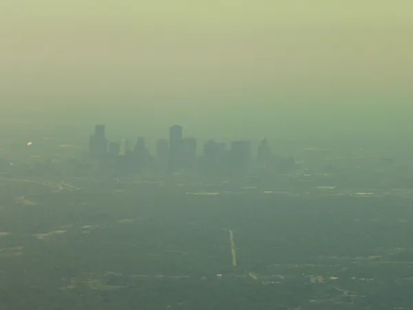
Houstonians waking up early this Tuesday, February 24, 2026, are greeting a crisp and clear morning. As of 3:00 AM, temperatures in the metro area have settled at approximately 43°F (6°C). While the early hours may require a light jacket, the clear skies and a steady southerly flow are expected to provide a rapid warming trend as the sun rises. Humidity levels are starting relatively high at 73% but are forecasted to drop significantly as the day progresses, setting the stage for a dry and breezy afternoon.
Afternoon: Peak Heat and Wildfire Impact Alert
By the afternoon, Houston will reach a comfortable high of approximately 71°F (21°C). While the temperature itself is pleasant for late February, the primary headline for today is a Weather Impact Alert issued for all of Southeast Texas. This alert, effective from 9:00 AM to 6:00 PM, warns of a heightened wildfire risk driven by a combination of dry fuels, low humidity—dropping to around 47%—and persistent winds.
With the region currently grappling with severe (Level 3) to extreme (Level 4) drought conditions, local authorities are urging residents to exercise extreme caution. To help mitigate the risk of accidental fires, officials recommend the following precautions:
- Avoid parking hot vehicles on dry grass or vegetation.
- Postpone the use of lawn equipment or any machinery that could produce sparks.
- Ensure all outdoor burning is strictly avoided during the alert window.
- Manage dry vegetation and debris around the perimeter of your home.
Evening and Night: Cooling Down Under Clear Conditions
As the sun sets, the wind is expected to die down slightly, though the air will remain quite dry. The evening will be characterized by clear skies with no significant cloud cover expected to trap the day’s heat. Consequently, temperatures will begin a steady descent. Overnight lows are projected to dip back down into the 40s or low 50s, depending on your proximity to the coast. Despite a 10% nominal chance of precipitation late tonight, meteorologists expect little to no measurable rainfall for the city, extending the current dry spell into the coming week.
Looking Ahead
Today's dry and sunny conditions are a prelude to a warmer Wednesday, where temperatures are expected to climb even higher into the upper 70s. For now, the focus remains on fire safety and enjoying the bright, rain-free Tuesday across the Bayou City.