Severe Storms and Tornado Risks Loom Over Houston This Valentine’s Day
A Volatile Weather Shift for the Houston Metro
Houston residents should prepare for a dramatic and potentially dangerous shift in weather conditions this Saturday, February 14, 2026. While the day began with thick blankets of fog, the atmosphere is set to become increasingly volatile as a potent cold front moves through Southeast Texas. Local officials and the National Weather Service (NWS) are urging the public to remain weather-aware, as Valentine’s Day celebrations may be significantly impacted by severe thunderstorms and the potential for tornadic activity.
Morning Conditions: A Foggy Start
The morning hours were dominated by a Dense Fog Advisory issued by the NWS for Harris County and surrounding areas, including Liberty, Chambers, and Galveston. Visibility in many neighborhoods was reduced to one-quarter mile or less, creating hazardous driving conditions until the advisory expired at 6:00 AM. During this early period, temperatures remained mild, hovering around 65°F with humidity levels reaching a saturated 98%.
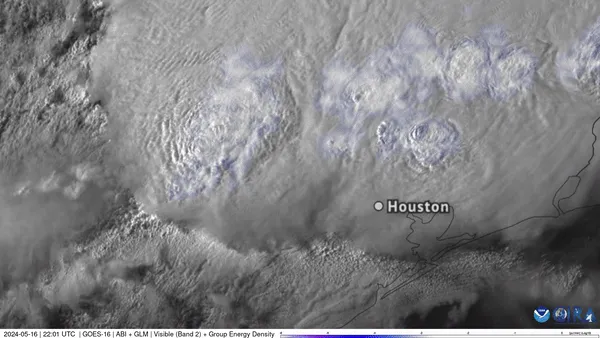
Afternoon and Evening: Severe Storm Development
As the fog clears, atmospheric instability will rise. Forecasters expect a daytime high of approximately 73°F before the arrival of a cold front. This boundary is predicted to trigger scattered thunderstorms across the Houston Metro starting in the afternoon and intensifying throughout the evening. The Storm Prediction Center has placed the region under a “Slight Risk” (Level 2 of 5) for severe weather, indicating that organized storms are likely to occur.
The primary threats associated with this system include:
- Damaging wind gusts of up to 70 mph capable of downing trees and power lines.
- Large hail and localized street flooding.
- The possibility of isolated, strong tornadoes, with the highest risk occurring during the late afternoon and evening hours.
By tonight, rain chances will surge to between 75% and 90%. As the front passes, the temperature is expected to drop to a low between 58°F and 62°F, bringing a much cooler end to the weekend.
Official Warnings and Safety Measures
In response to the forecast, Governor Greg Abbott has directed the Texas Division of Emergency Management to activate state emergency response resources. Residents are advised to secure outdoor furniture, monitor local radar, and ensure they have multiple ways to receive emergency alerts. If a tornado warning is issued for your area, move to an interior room on the lowest floor of a sturdy building immediately. Travelers should be particularly cautious of localized flooding on major thoroughfares throughout the evening.