Keep the Umbrella Handy: Widespread Showers Dampen Houston Ahead of Arctic Blast
A Gray and Humid Start for the Bayou City
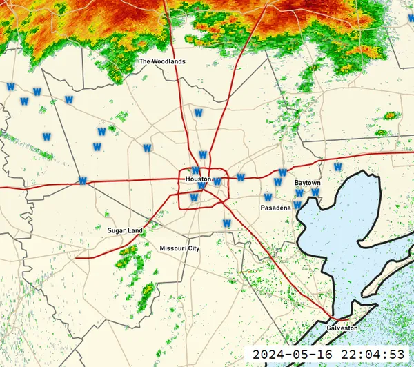
Houstonians waking up this Wednesday, January 21, 2026, will find a thick blanket of clouds and high humidity hanging over the metro area. As a stalled frontal boundary lingers across Southeast Texas, the primary theme for today is persistent dampness. While no major flooding is expected, the combination of moisture and atmospheric disturbances ensures that umbrellas will be a necessary accessory from the morning commute through the evening hours.
Morning Forecast: Slick Roads and Rising Humidity
Early morning conditions are characterized by high humidity levels near 93%, with temperatures starting in the low 60s. Light rain showers are most likely to develop near and north of the Interstate 10 corridor during the morning rush. Drivers should remain cautious, as the first round of light rain can create slick conditions on local highways. Visibility may also be slightly reduced due to patchy mist and low-hanging clouds across Harris and Montgomery counties.
Afternoon Outlook: Widespread Showers and Coastal Downpours
By midday, the focus of the precipitation will shift. Meteorologists expect heavier rainfall to develop first along the Gulf Coast before moving into the Houston city limits by early afternoon. While the rain is projected to remain mostly light to moderate, a few isolated downpours with embedded thunder are possible as the afternoon high reaches approximately 66°F to 70°F. Total rainfall accumulations for the day are expected to range between 0.25 and 0.5 inches, though some coastal areas could see locally higher amounts.
- Temperature High: 66°F - 70°F
- Rain Chance: 65% during the day
- Wind: Light and variable, occasionally reaching 10-14 mph
Evening and Overnight: A Brief Lull Before the Front
As we head into the evening, the rain chances will persist at about 50%, with showers becoming more scattered. Temperatures will stay uncharacteristically mild for January, with overnight lows only dipping to around 60°F. Expect continued cloudy skies and a return of patchy fog late Wednesday night into early Thursday morning. This humid, damp pattern serves as the precursor to a much more significant weather shift expected later this week.
No Immediate Warnings, but Keep an Eye on the Horizon
While there are no active severe weather or flash flood warnings for today, the National Weather Service is keeping a close watch on a powerful arctic cold front currently moving toward Texas. Today's rain is a direct result of the moisture being pulled ahead of that system. While today is simply wet and gray, residents are encouraged to begin preliminary winter preparations, as temperatures are forecast to plummet significantly by the coming weekend.