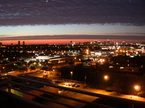
Houston Huddles: Brilliant Sunshine Meets Biting Arctic Cold
Houston Huddles: Brilliant Sunshine Meets Biting Arctic Cold
Houstonians waking up this Sunday, February 1, 2026, are greeting a landscape that is both brilliantly sunny and dangerously cold. While the sky remains a clear, cloudless blue, the region is currently grappling with a significant Arctic push that has triggered several weather alerts across Southeast Texas. This cold snap marks a frigid start to the month, requiring residents to take immediate precautions against the elements.
Morning: A Frigid Start with Biting Wind Chills
The early hours are the most challenging part of today's forecast. A Hard Freeze Warning is in effect for inland Southeast Texas until 9:00 AM. Temperatures across the Greater Houston metro have plummeted into the upper 20s and low 30s, with outlying areas seeing lows as deep as 19°F to 24°F. Even as the sun rises, wind chill values are lingering between 15 and 25 degrees. Authorities recommend that anyone heading out for early morning services or exercise limit their time outdoors and ensure all exposed skin is covered to prevent frostbite.
Afternoon: Crisp Sunshine and Mild Transitions
As we move into the afternoon, a slow "thaw" begins, though it will remain a cool day by local standards. High temperatures are expected to peak between 52°F and 55°F. Despite the low temperatures, the afternoon will be characterized by excellent visibility and stable conditions. The humidity is sitting near 47%, giving the air a crisp, dry feel. Winds will stay relatively light, shifting from the south at about 8 mph, though occasional gusts of up to 18 mph may still carry a noticeable chill. This will be the most comfortable window for outdoor activity, provided residents remain dressed in warm layers.
Evening: Rapid Cooling Under Clear Skies
Once the sun sets, the clear skies that provided the afternoon’s beauty will allow heat to escape the atmosphere rapidly. Temperatures are expected to drop back into the upper 40s shortly after dusk and will continue to slide toward freezing levels overnight. If you have Sunday evening plans, a heavy coat is essential, as the lack of cloud cover means there will be no insulation to hold the day's limited warmth.
Critical Alerts and Safety Reminders
- Freeze Warning: Residents must continue to protect the "four Ps": People, Pets, Plants, and Pipes. Ensure outdoor plumbing is insulated and all pets have a warm, indoor place to stay.
- Low Water Advisory: A Low Water Advisory is in effect until 6:00 PM for Galveston Bay and Matagorda Bay, with tides expected to reach 2.0 feet below mean lower low water, creating a risk for vessel grounding.
- Air Quality: Air quality remains in the "Good" category for the entire region, posing no risk to sensitive groups.
Stay warm and stay safe, Houston, as we navigate this icy start to the week. While the sun is out, the winter chill is firmly in control.