Houston and Southeast Texas freeze outlook: when temperatures rise above freezing and roads improve
A gradual thaw begins Monday, with the most consistent warming expected by midweek
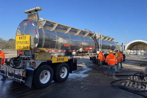
Houston and much of Southeast Texas are moving through a prolonged freeze that brought subfreezing temperatures and episodes of wintry precipitation, including sleet and freezing rain, into Sunday, Jan. 25. The cold snap has created a broad safety challenge: even as precipitation tapers, moisture left on pavement can refreeze overnight, producing black ice—especially on bridges and overpasses.
Forecast guidance for the region indicates that temperatures will hover near or below freezing through early Tuesday, Jan. 27, before a clearer warming trend takes hold. An extreme cold warning remains in effect through midday Tuesday for parts of the region, reflecting both dangerous wind chills and the risk of hard-freeze impacts such as frozen pipes and hazardous travel conditions.
What “thawing out” will look like across the metro area
In practical terms, thawing will be uneven. Sunshine and slightly higher daytime temperatures can melt thin ice during the afternoon, but nightly lows near or below freezing can re-freeze runoff. That freeze-thaw cycle can extend travel hazards beyond the end of active precipitation.
Houston (city): After a very cold Sunday, highs are expected to climb to around the low 40s on Monday, Jan. 26, and near 50 by Tuesday, Jan. 27. Overnight temperatures remain cold enough for refreezing early in the week.
Northern suburbs (including Montgomery County/Conroe area): Daytime warming begins Monday but nights are colder than the urban core, increasing the chance that damp surfaces refreeze after sunset.
Inland communities north of Houston: The longest stretch of subfreezing temperatures is expected farther inland, where temperatures can remain below freezing for much of the day, delaying widespread improvement on untreated roads.
Coast (including Galveston): Coastal locations typically warm sooner and stay milder overnight, which can speed melting compared with inland areas, though wind and damp conditions can still produce slick spots.
Timeline: key turning points from Monday through Friday
Monday, Jan. 26: Sunshine returns and afternoon temperatures rise above freezing in many spots, supporting partial melting. Road conditions may improve in daylight, but shaded areas and elevated roadways can remain icy.
Monday night into Tuesday morning, Jan. 27: Another cold night keeps refreezing concerns in play where moisture remains.
Tuesday, Jan. 27: A more noticeable thaw spreads across the metro, with daytime highs approaching the upper 40s to near 50 in Houston, reducing the duration of below-freezing conditions.
Wednesday, Jan. 28, and Thursday, Jan. 29: The region trends into the 50s and 60s during the day, allowing more persistent melting and improving conditions for most areas.
Friday, Jan. 30: Cloud cover and rain chances return, which can complicate cleanup and recovery efforts, though daytime temperatures are expected to remain above freezing.
Even after temperatures rise above 32°F, drivers should anticipate isolated slick spots where meltwater refreezes overnight—particularly on bridges, overpasses, and shaded road segments.
Residents are advised to continue monitoring local alerts through Tuesday, limit unnecessary travel during overnight and early-morning hours, and take precautions to protect exposed pipes, pets, and vulnerable neighbors until sustained above-freezing conditions settle in later this week.