Dense Fog and Gale Warnings: Houston Braces for a Sharp Saturday Shift
A Day of Drastic Transitions
Houston residents are waking up to a complex weather pattern this Saturday, February 21, 2026. The day began with heavy cloud cover and a thick blanket of fog, but conditions are expected to shift rapidly as a potent cold front approaches the region. While the afternoon promises a brief window of warmth and sunshine, a significant weather alert is in place for the evening hours, bringing strong winds and a sharp drop in mercury.
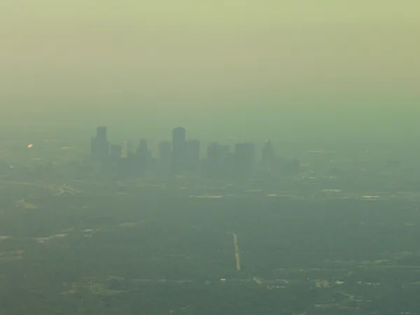
Morning: Dense Fog Advisory in Effect
Visibility is currently the primary concern for commuters and early risers. A Dense Fog Advisory is in effect through the mid-morning hours, particularly for coastal and inland areas. Meteorologists have reported humidity levels as high as 97%, contributing to the murky conditions. Drivers are urged to slow down and use low-beam headlights as visibility may drop suddenly. The morning temperature started near 70°F, but as the fog burns off, the atmosphere will begin to clear, making way for a brighter afternoon.
Afternoon: Sunshine and Above-Average Warmth
By the afternoon, Houstonians can expect a significant change as the sun breaks through the clouds. Skies will transition to mostly sunny, with temperatures climbing well above the seasonal norm. Highs are projected to reach between 77°F and 82°F. This peak warmth will be accompanied by a 20% chance of light showers, though most of the metro area will remain dry during the daylight hours. It is the perfect window for outdoor activities before the evening's atmospheric shift.
Evening: Gale Watch and Cold Front Arrival
The weather story takes a dramatic turn as the sun sets. A strong cold front is scheduled to push through Southeast Texas on Saturday evening, bringing intense north winds and a Gale Watch for coastal waters. Wind gusts are expected to reach between 30 and 35+ knots (approximately 34 to 40+ mph) behind the front. This system will usher in much colder air, causing the temperature to plummet from the afternoon highs down to a chilly overnight low of 45°F to 48°F. Residents are advised to secure loose outdoor items and prepare for a much colder start to Sunday.
Forecast at a Glance
- Morning: Dense fog and high humidity; 20% chance of rain; temps near 70°F.
- Afternoon: Mostly sunny and warm; high of 77°F to 82°F.
- Evening/Night: Cold front arrival; strong north winds (30-35+ knots); low of 45°F.
- Warnings: Dense Fog Advisory (Morning); Gale Watch (Evening).