Arctic Front Arrives: Houston Braces for a Bone-Chilling Transition from Rain to Ice
Arctic Blast Grips the Bayou City
Houston is currently facing a dramatic weather shift as a powerful Arctic front descends upon Southeast Texas today, Saturday, January 24, 2026. What began as a damp and mild week is rapidly transforming into a significant winter weather event. Forecasters are warning residents that while the day starts with liquid rain, the arrival of freezing air will turn the evening into a hazardous situation with ice and sleet likely across the metro area.
Morning: A Cold and Damp Start
The morning hours will be dominated by off-and-on cold rain throughout the region. At approximately 7:00 a.m., temperatures were recorded in the mid-40s, but they are expected to fall steadily throughout the morning. By noon, readings will likely dip into the upper 30s. While precipitation remains as rain during these hours, the moisture combined with falling temperatures will make outdoor conditions increasingly uncomfortable. Visibility may be limited during heavier pockets of rain, and commuters are advised to watch for slick spots on bridges and overpasses.
Afternoon: Sinking Temperatures and Rising Winds
Conditions will continue to deteriorate as we head into the afternoon. Daytime highs are expected to peak early near 53°F to 55°F before plummeting as the heart of the Arctic air mass settles in. Winds will shift significantly, blowing from the north at 13 to 17 mph, with gusts potentially reaching 24 to 30 mph. This wind chill factor will make it feel much colder than the actual thermometer reading. Widespread rain will persist, with accumulations of about a quarter inch possible by nightfall. Areas north of Interstate 10 may begin to see the first signs of freezing precipitation as early as late afternoon.
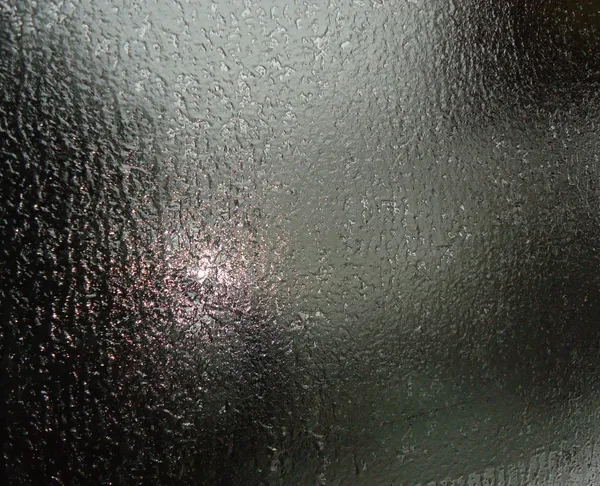
Evening and Overnight: The Shift to Ice
The most critical window for Houston begins after sunset. Temperatures are forecast to drop below the freezing mark, reaching a low of approximately 32°F by midnight and continuing down into the mid-20s overnight. This will trigger a dangerous transition from cold rain to freezing rain and sleet. Mayor John Whitmire has urged all Houstonians to be off the roads by midnight tonight, as ice accumulation on elevated surfaces will make travel nearly impossible.
Warnings and Safety Measures
- Winter Storm Warning: In effect through 6:00 p.m. Sunday for the Houston metro area.
- Extreme Cold Warning: Active as wind chills are expected to reach dangerous levels overnight.
- Warming Centers: The City of Houston will open official warming centers starting at 5:00 p.m. today. Residents can call 311 for transportation assistance.
- Closures: The Houston Zoo is closed through Monday, and several local organizations have cancelled weekend activities.
Residents are strongly encouraged to protect the 'Four Ps': People, Pets, Pipes, and Plants. Ensure that outdoor pipes are wrapped and that neighbors, especially the elderly, have adequate heating for the upcoming deep freeze.